

For the near future, an unstable pattern will bring sporadic showers and thunderstorms from Texas over the Plains.
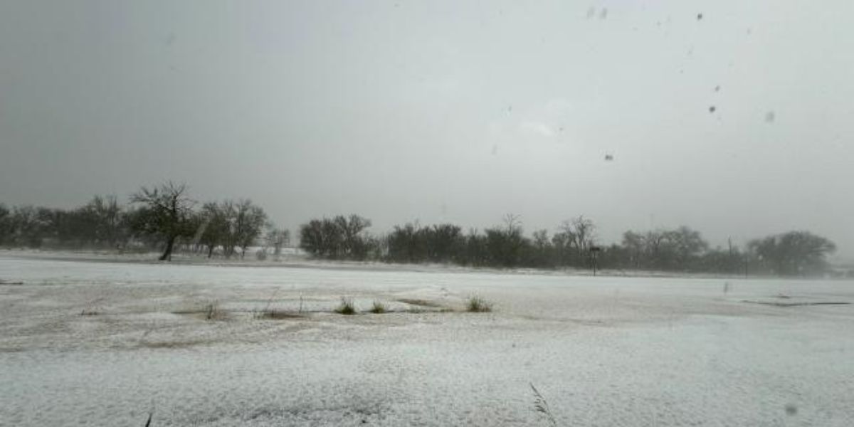
About 200 miles southeast of El Paso, in the remote village of Marathon, Texas, severe thunderstorms on Wednesday dumped several inches of hail on the area.
Before the storm, according to a local meteorologist, the air temperature was in the nineties. In the immediate wake of the supercell, the temperature rapidly dropped by at least forty degrees.
Due to sweeping cold fronts that aid in the formation of thunderstorms, flash flooding is expected throughout the late week from Texas over most of the Plains and as far north and east as the Midwest.
Related Stories:
- 22 Dead, Thousands Lose Power as Storms Hit Over Memorial Day Weekend
- Kansas in Turmoil: Powerful Storms Bring 100-mph Winds and Baseball-Sized Hail
- Texas Tornado: Deadliest Since 2015 Leaves 7 Dead, Children Among Victims
Every day, the bull’s-eye for the most intense rain will move, reversing course and going from the south to the north again.
With three to five inches of rain predicted to shower the area, major cities like Dallas are facing severe weather and the possibility of flash flooding.
While some places in the middle Plains would like to take advantage of the rainy weather, many places in the South are seeing far more rain than usual this year.