

As the day progresses, a storm system from the West Coast is swiftly crossing the Rockies and entering the Great Plains. Right now, when that system starts to dry out, everything appears to be rather harmless.
But soon, a cold front that is extending across Texas will move to Louisiana and absorb some energy from the Gulf of Mexico, giving it just enough strength to produce a narrow line of thunderstorms and heavy rains.
It is anticipated that this thin line will extend from Kentucky, Tennessee, Alabama/Mississippi, and all the way across Louisiana.
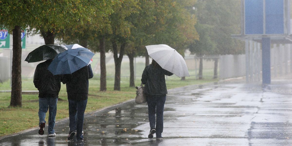
Although widespread severe weather is not currently anticipated, there is worry that this short line of strong thunderstorms may develop into a dangerous gust front.
Along the aforementioned states, straight-line winds exceeding 45 to 50 mph could pass at a respectable speed. Additionally, there can be tiny hail, frequent lightning, and a brief period of intense rain.
Read Also: Denver Prepares for a Snowy Wednesday, Snowstorm Sweeps Across Colorado
Late in the week, we might also witness a bigger, better-organized system that can produce more rain over a longer period of time. In addition to keeping an eye out for further thunderstorm potential, this could raise the chance of rain-related flooding.