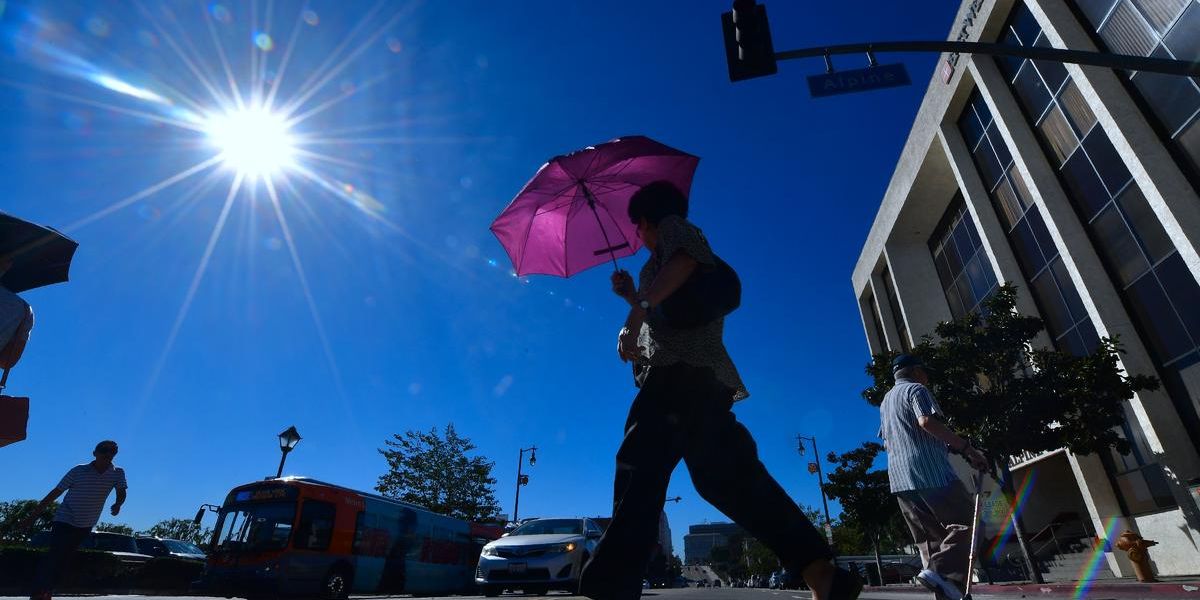
Even though meteorological summer has only just begun, millions of people in the West are already getting ready for potentially fatal heat-related illnesses because of a shift in the weather pattern that will bring triple-digit temperatures during the region’s first heat wave of the summer.
Building ridges of high pressure from the Pacific Ocean and Mexico are seen in computer forecast models, which will contribute to the week’s high temperatures.
South of the border, a similar pattern has already resulted in record-breaking temperatures; throughout the previous month, numerous people and animals have reportedly died in Mexico.
Phoenix and Las Vegas might reach or surpass 110 degrees by Wednesday and Thursday, while Death Valley, California, might record a high of 118 degrees or more.
On Wednesday, June 5, a temperature of at least 110 degrees would create a new record for the earliest 110-degree day in the city’s history. June 6, 2010 is the current record, having been set earlier.
It is predicted that Sacramento, California, will see temperatures exceeding 100 degrees this week. The high temperature on Tuesday is expected to be 102 degrees, and on Wednesday it will be 104 degrees.
These are values that will be 10–20 degrees above average for the Desert Southwest and most of inland California.
The National Weather Service has issued a heat advisory for almost 25 million people in California, Nevada, Arizona, Utah, New Mexico, and Texas due to the potentially dangerous heat wave that is predicted to intensify.
While locations like Phoenix and Tucson in Arizona are under an Excessive Heat Watch, portions of Northern and Central California, Southern Nevada, including Las Vegas, are under an Excessive Heat Warning.
The heat wave is expected to peak on Wednesday and Thursday, but it may continue into Friday and the next weekend, according to computer forecast models.
Read Also: Denver Metro Pummeled by Largest Hailstorm in 35 Years
Weather experts from the National Weather Service alert people who don’t have access to air conditioning or who don’t drink enough water to the risk of heat-related illnesses.
Furthermore, nocturnal lows won’t fall into a bearable range, adding to the difficulty for humans and animals looking to cool off after dusk.
Communities have been categorized as having impacts at Level 3 or 4 out of 4 on the National Weather Service’s HeatRisk map, in many of the locations where daily records could be tied or broken.
The exceptional heat, the length of the extremely high temperatures, and the possible health effects are all taken into account when determining the HeatRisk threat level.
Heat affects people who are not drinking enough water or who do not have access to cooling when it reaches a code red (Level 3) level. This is a level lower than the magenta code (Level 4).
Read Also: Hailstorm Transforms Texas Neighborhood into Winter Wonderland
A Level 4 denotes extremely high temperatures that are either infrequent or persistent. An increase in patients with heat-related ailments can have an effect on health systems.
On Thursday and Friday, a portion of the Las Vegas metro area is in an extremely high risk zone (Level 4 out of 4).


Leave a Reply