

Midweek, a strong bomb cyclone linked to a significant atmospheric river is expected to saturate the West Coast from Washington to California, perhaps causing flooding.
In meteorology, “bomb cyclone” is derived from “bombogenesis” or “explosive cyclogenesis.” This occurs when the central pressure of a storm system decreases by at least 24 millibars in a 24-hour period.
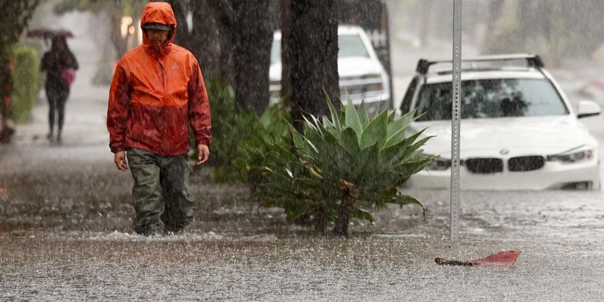
Tuesday night is expected to bring a large stream of moisture that will last through the end of the week and maybe into the weekend. For several days, this system will deliver consistent, moderate rain, which might flood roads, small streams, and even larger rivers.
There might be 2-4 inches of rain per day in certain places from Wednesday to Friday, with much more likely in the highlands.
As the storm approaches on Tuesday night, strong winds will also start to blow in. In exposed regions such as headlands, ridges, and portions of the coastal plains, gusts of 60 to 70 mph are anticipated.
This river will deposit feet of snow in the Sierra Nevada and Cascades, just like the majority of atmospheric rivers. However, snow levels will be greater than normal due to the warmer Pacific air being drawn in by strong winds.
Read Also: Homeland Security Increases Temporary Work Visa Allotment for Non-Citizens
All of the Cascades are under a Blizzard Warning, which will be in effect from late Tuesday to early Wednesday. The likelihood of heavy winds overlapping with snow and lowering visibility to a quarter-mile or less for at least three hours straight is highest here.
The heaviest snowfall will occur above 4,000 feet, covering mountain areas with several feet of snow. Snowfall is expected to start at about 3,500 feet.