

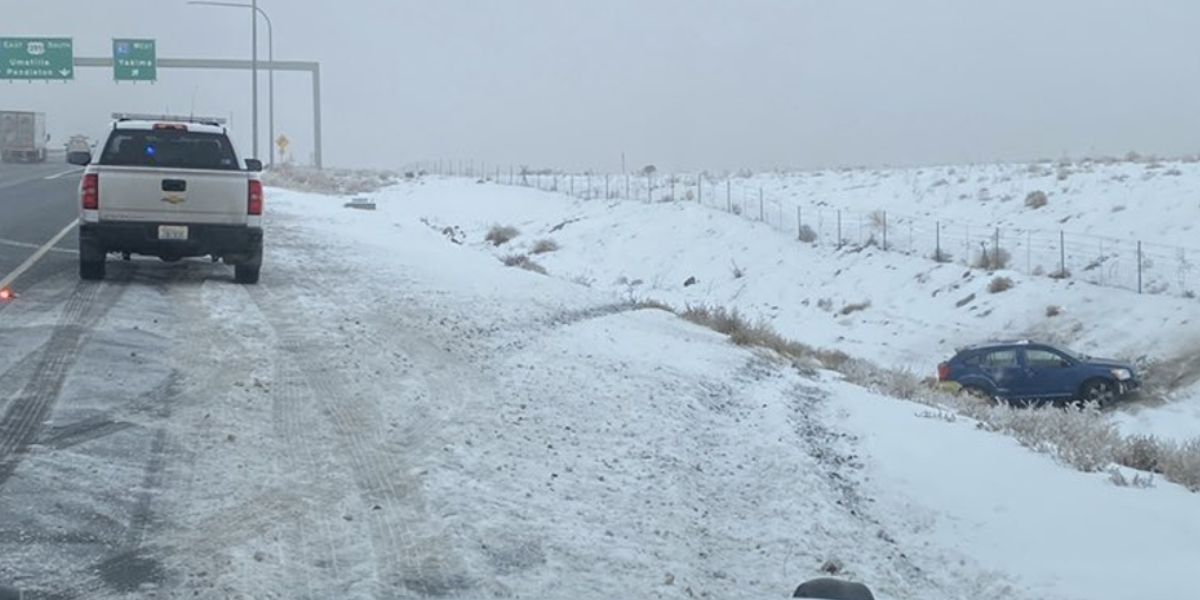
This week, the Pacific Northwest is being affected by an exceptionally cold cyclone that could bring several inches (up to several feet) of snow to the area by Tuesday night.
The best area will be in central and southern Washington, as well as northern Oregon; the bullseye will be directly on Mount Hood, which also benefits from a higher elevation—a crucial factor in these late-season storms.
Beginning in the north of Washington, the snow will move southward through Sunday night. Midway through Monday morning, things really start to heat up in southern Washington and northern Oregon.
The afternoon and evening will see a slowdown in the precipitation before a second wave moves in between Monday and Tuesday night.
This time of year, unusually low temperatures will allow snow levels to vary from 2,000 to 4,000 feet. If there is snow, it will be exceptionally good, so take advantage of it by going skiing!
Read Also: Loss Amidst Chaos: 4 Lives Lost, Including Innocent Infant, in Oklahoma Tornadoes
For resorts that are still open at least on weekends, these are the reasonable storm totals from the two storms as of Wednesday morning. The only resorts still open for business every day are Hood and Bachelor:
- Crystal: 11-14″
- Mt Hood: 18-22″
- Bachelor: 8-11″
The Intermountain West will have an eastward ejection from these same storms, resulting in widespread 3–8″ totals across Idaho, Montana, and Wyoming.
Tuesday morning, Colorado should have a few inches of light snow, and by Wednesday night, there should be more (uncertainty remains quite high, but totals will likely be fewer than 6 inches).